Snapshot
Iceland at a glance
- Capital
- Reykjavik
- Population
- 393,160
- Area
- 103,125 km²
- Calling code
- +354
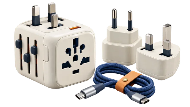
- Power
- 230 V / 50 Hz
- Plug types
- C, F
- Schengen
- Schengen member
- Tap water
- Generally safe
- Passport rank
- View mobility score and coverage

Want to keep this destination? Sign in to save it.
Europe · Travel essentials
 Iceland
Explore Reykjavik, Kopavogur and Hafnarfjoerdur. Check local travel essentials, save places and plan journeys between cities.
Snapshot
A place to start
Choose where you’re going. Find places to visit and check the weather.
Largest settlements in the available GeoNames snapshot (2026-09-06); population dates and city boundaries differ. GeoNames · CC BY 4.0.
Explore Hafnarfjoerdur
Find a museum, a place to eat or an arrival airport. Save the places you want to come back to.
See straight-line distances from you. The map stays focused on your destination.
Your next stop
Driving estimates do not include live traffic. On-foot, bicycle and public transport directions open in Google Maps. A place’s map pin may not be its visitor entrance.
Place details and source links are available below the map.
Map: OpenStreetMap contributors. Country outline: Natural Earth, overview only.
Explore mapped places within 5 km of Hafnarfjoerdur. Hours and access are shown only when recorded.
0 places to explore. More places may be available in the city.
Before you step outside
Temperature, rain, wind, sunrise, sunset and a seven-day outlook.
Full city weather → · Open-Meteo, Forecast updated when requested.
Think in the local currency
Czech National Bank reference rate, 07 Sep 2026. For planning; card and cash exchange rates can differ.
Arrive with a little context
33.8 km from the city centre · straight line
Compare scheduled-service airports near Hafnarfjoerdur. Distances are measured in a straight line; your journey by road or public transport will be longer.
Live flight times are not available here yet. Check the airport’s official board before travelling.
KEF airport information ↗| Airport | IATA | Distance to city | Plan the next step |
|---|---|---|---|
| Reykjavík Domestic Airport | RKV | 6.9 km | Airport website ↗ |
| Keflavik International Airport | KEF | 33.8 km | Airport website ↗ |
| Ísafjörður Airport | IFJ | 228.4 km | Airport website ↗ |
| Akureyri International Airport | AEY | 254.0 km | Airport website ↗ |
| Hornafjörður Airport | HFN | 325.8 km | Airport website ↗ |
| Grímsey Airport | GRY | 330.2 km | Airport website ↗ |
OurAirports · Public Domain. Airport transfer tool →
Reykjavík · BIRK
5138 × 148 ft
ASP4035 × 148 ft
ASPReykjavík · BIKF
10020 × 197 ft
ASP10056 × 197 ft
ASPÍsafjörður · BIIS
4593 × 139 ft
ASPAkureyri · BIAR
8858 × 148 ft
ASPHöfn · BIHN
4921 × 148 ft
ASPGrímsey/Sandvík · BIGR
3399 × 80 ft
AsphaltNot recorded
Travel reference only; not for aviation navigation.
Get around with confidence
Load the available mapped lines. This is a route map, not a live departure board.
OpenStreetMap contributors · ODbL. Route coverage and stop ordering can be incomplete.
Explore the mapped bus, rail, metro, tram and ferry lines serving Hafnarfjoerdur. Available modes depend on the local network. Check today’s departures and tickets with the operator.
Keep exploring
Browse 0 ideas for Hafnarfjoerdur — from things to see and do to food and places to stay. Check current details before booking or visiting.
Trip notes are written for MyTripTools from place names, categories and mapped details. Use “Find more” above for nearby food and stays. Maps and supplemental place details: OpenStreetMap contributors · ODbL. Check details with the venue.
Your travel toolkit
Use Iceland as the passport and Iceland as the destination.
Check routeOpen a pre-filled converter for trip money planning.
ISKCheck city weather, climate averages and seasonal conditions.
MonthlyCheck plug type, voltage and frequency before packing devices.
C, FSee country-level tap water guidance for travellers.
SafetyFind alpha-2, alpha-3, calling code, currency and capital.
ISWeather
Regions